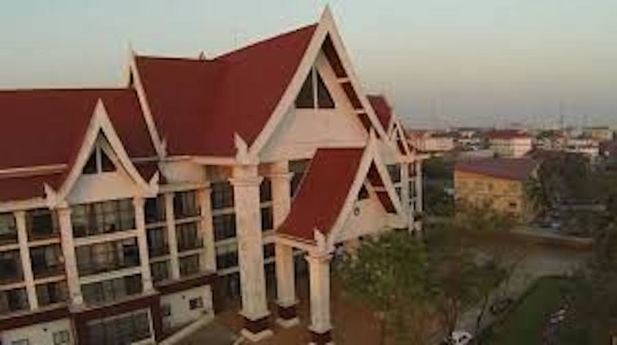
On a visit to the Asian Institute of Technology AIT on 10-15-2012 to inspect the mockup of the Xayaburi Hydropower Dam, Mr. Viraphonh Viravong, Deputy Minister of Energy and Mines of Laos, the “brain” behind all development projects for hydropower dams in Laos asserted: “There is no question of Lao PDR not developing its hydropower potential. The only question is how to do it sustainably.”
Category: Laos
PM announces continued suspension of mining concessions
Prime Minister Thongloun Sisoulith said yesterday the government will maintain the moratorium on new mining concessions because it needs more time to inspect a number of operations.
Report reveals a big dependence on freshwater fish for global food security
Freshwater fish play a surprisingly crucial role in feeding some of the world’s most vulnerable people, according to a study published Monday (Oct. 24) in the Proceedings of the National Academy of Sciences.
“It was eye-opening just how many people are deeply dependent on freshwater fisheries as sources of protein,” says Pete McIntyre, a lead co-author of the study and professor of zoology in the Center for Limnology at the University of Wisconsin–Madison. “Many people in poor nations do not get much animal protein to eat, and freshwater fish provide protein for the nutritional equivalent of 158 million people around the world.”
Landmark public consultations on infrastructure development held in Vientiane
A landmark public consultation in Laos on the draft Regional Guidelines on Public Participation in Environmental Impact Assessment (EIA) was held in Vientiane. More than 100 representatives from private sector companies, communities, non-profit associations, international organizations, government agencies, environmental impact assessment consulting firms gathered today at a public consultation in Vientiane to provide feedback on draft Regional Guidelines on effective Public Participation in Environmental Impact Assessment processes as a way to ensure these processes involve communities.
Research: Watershed or Powershed? Critical Hydropolitics, China and the ‘Lancang-Mekong Cooperation Framework’
Abstract: The countries sharing the Lancang-Mekong River are entering a new era of hydropolitics with a growing number of hydropower dams throughout the basin. Three ‘powersheds’, conceptualised as physical, institutional and political constructs that connect dams to major power markets in China, Thailand and Vietnam, are transforming the nature–society relations of the watershed. In the process, new conditions are produced within which the region’s hydropolitics unfold. This is epitomised by the ‘Lancang-Mekong Cooperation’ framework, a new initiative led by China that proposes programs on both economic and water resource development, and anticipates hydrodiplomacy via China’s dam-engineered control of the headwaters.
Vietnam playing ‘key Mekong sub-region role’
VIETNAM has been making practical contributions to turning the Mekong sub-region into a dynamic and prosperous economic area via two crucial cooperation frameworks. That is according to the country’s Deputy Prime Minister and Foreign Minister Pham Binh Minh, who spoke before meetings of those cooperations, the 8th Cambodia-Laos-Myanmar-Vietnam Summit (CLMV-8) and the 7th Ayeyawady-Chao Phraya-Mekong Economic Coopera-tion Strategy Summit (ACMECS-7) which will be held in Hanoi on October 25 and 26.
Luxembourg offers 1 million euros grant to Mekong River Commission
THE government of Luxembourg has granted 1 million euros (about Bt39 million) to the Mekong River Commission (MRC) to support the implementation of its strategic work for the period of 2016-2020.
From dams to basins: mapping across scales
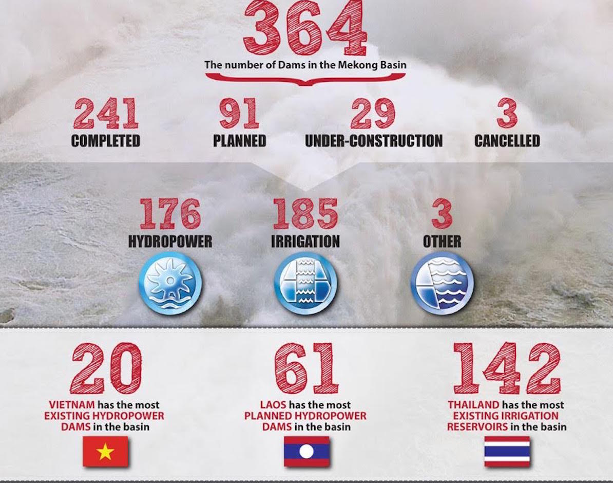
t the end of June 2016, WLE Greater Mekong published a series of maps identifying dams on the Irrawaddy, Salween, Mekong, and Red rivers and their tributaries. The maps cover existing dams, dams under construction, planned dams, and cancelled dams; both irrigation dams and hydroelectric dams are mapped, as long as they have a reservoir size of at least 0.5 km2 and/or have an installed capacity of at least 15 megawatts (for hydroelectric dams).
The following is the first half of an interview that took place on 8 July 2016, between Dr Kim Geheb—the WLE Greater Mekong Regional Coordinator — and the editor of Thrive. It is being published here in anticipation of the Great Mekong Forum on Water, Food, and Energy.
Govt, Stakeholders Discuss Mining Sector Licensing System
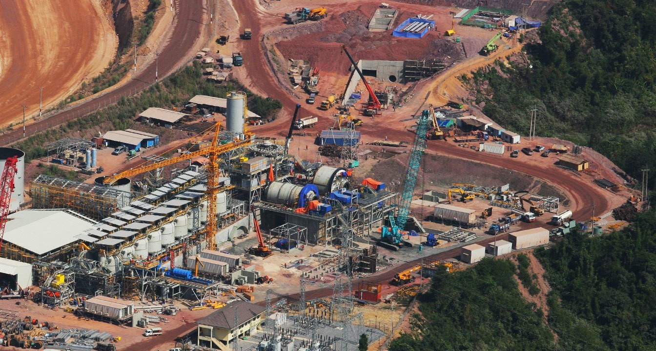
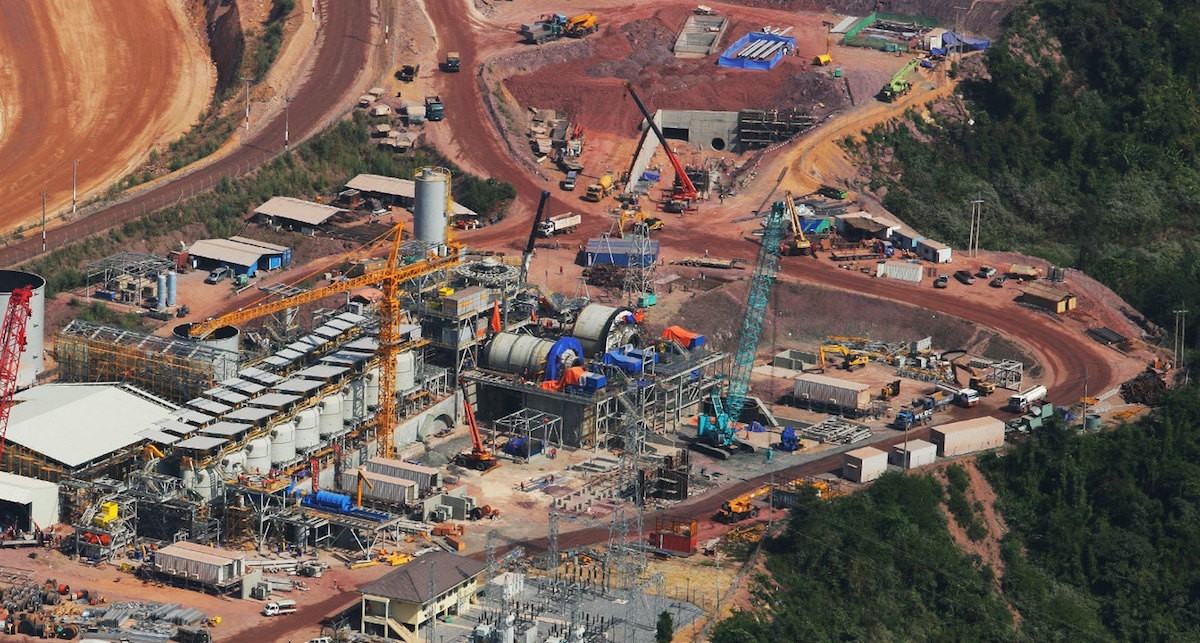
Representatives from government, mining business operators, developments partners and non-government organisations met in Vientiane to consult on ways to improve and change mining sector licensing and investment systems in Laos.
Regional NGOs meet in Myanmar to improve community involvement in infrastructure decisions
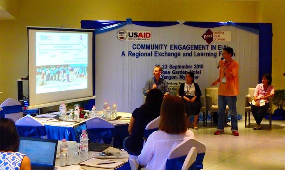
This week, 50 representatives from non-governmental organizations (NGOs) across the Mekong region met in Myanmar to share successes and challenges in effectively involving local communities in environmental impact assessment (EIA) processes.
At the “Community Engagement in Environmental Impact Assessment: A Regional Exchange and Learning Forum” in Yangon, participants explored approaches to helping communities constructively engage with businesses and government to ensure sustainable and equitable development in the context of increasing infrastructure investment in the region, according to a press release September 23.


