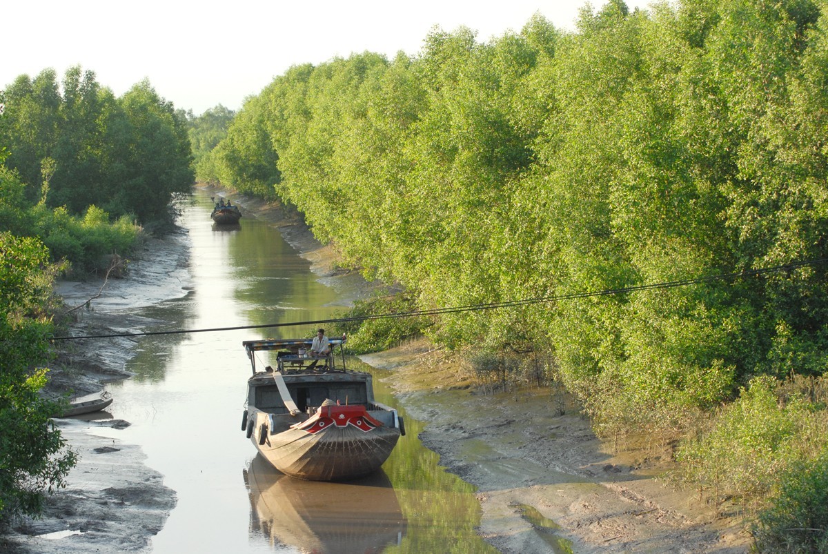
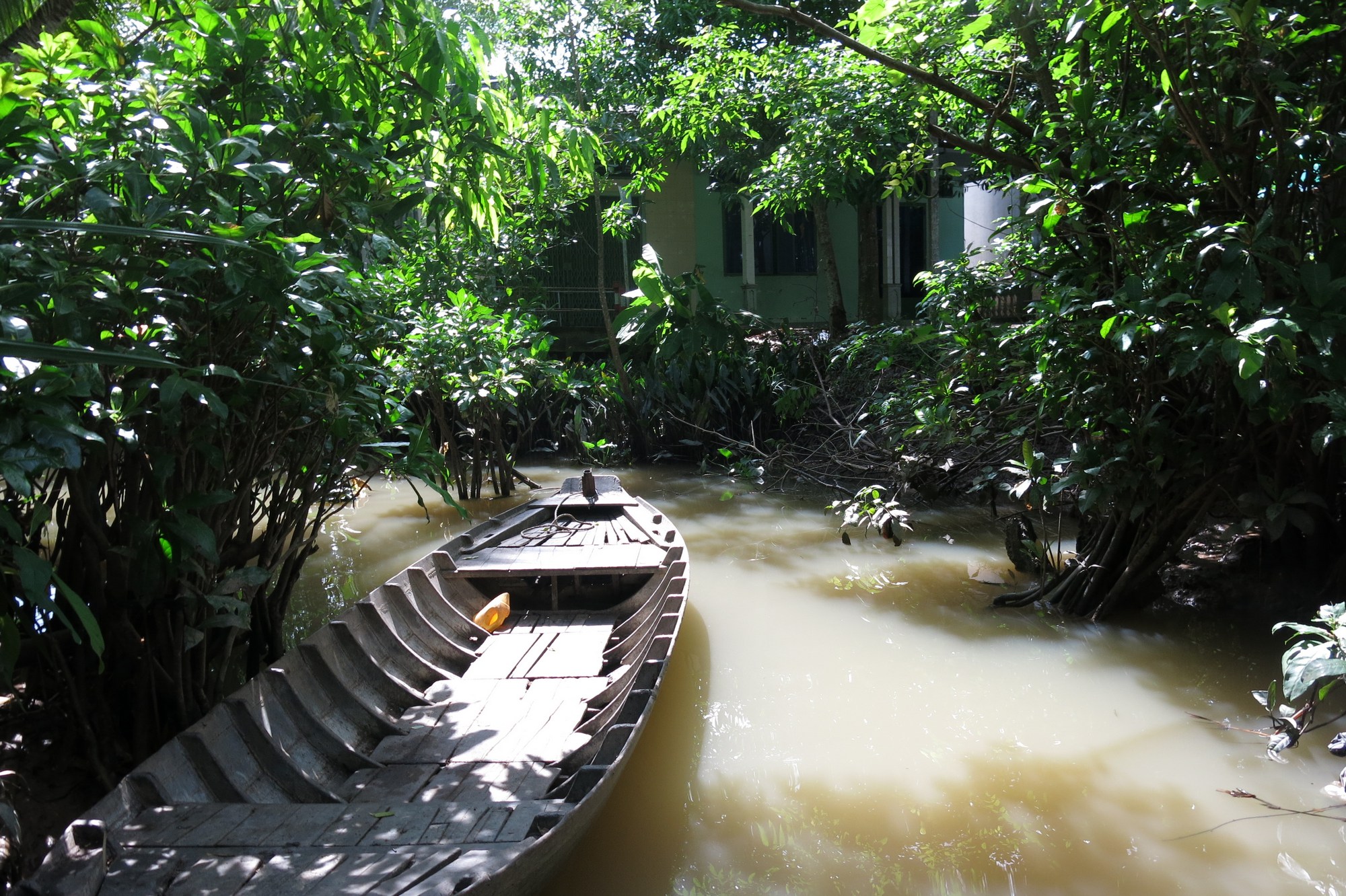
The Mekong Delta is sinking 2.5cm every year because of ground water extraction and unreasonable planning and constructions on the surface.
Tag: erosion
Struggling with riverbank erosion by Nam Theun 2 dam
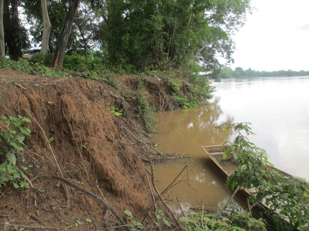
Since 2010 the river banks in Phuk Pheua village in Savannakhet province have started to rapidly erode, causing hardship for the village people. The extent of the erosion has increased every year, and each year the rate of erosion seems to be getting worse. This rapid erosion has been caused by the Nam Theun 2 dam, which discharges water into the river upstream of the river.
300,000 Vietnamese coastal residents seriously threatened by forest loss-triggered erosion
Thousands of households along the coast of Tien Giang Province in the Mekong Delta have been seriously endangered by soil erosion caused by the loss of protective forests.
Since the strip of protective forest, 21 kilometers long, covering the coast of Go Cong District has been ruined, around 300,000 locals and 55,000 hectares of farming land there have been “put under a knife blade” for years.
Houses in the coastal area from the Soai Rap River mouth in Vam Lang Town to Den Do in Tan Thanh Commune are under permanent threat and may be swept away or sunk by erosion any time.
A sea dike of steel concrete was built along the coast to protect local residential areas but it is just a temporary measure since sea waves have continued to encroach on land day by day.
Delta through the lenses of foreign correspondents
In mid August, many correspondents from Cambodia, Myanmar, Thailand, China, and Britain came to Mekong River Delta. They wanted to witness the impacts of climate change, sea level rise and certainly mainstream dams upstream Mekong River, affecting the granary, fish, and shrimp of the world.
Gradual loss of the Southeast Asian Rice Field
Hundreds of kilometers of riverbank and shoreline in the Mekong River Delta are being eroded dramatically with hundreds and even thousands of hectars of land swept away annually. The place widely known as the field of Southeast Asia, annually produces 24-25 millions tonnes of rice (6-8 million tonnes of rice export) and 1.2 million tonnes of catfish, and 500,000 tonnes of shrimp, mostly for export. That field is being lost.
Mekong dwellers struggle to adapt to tides of change
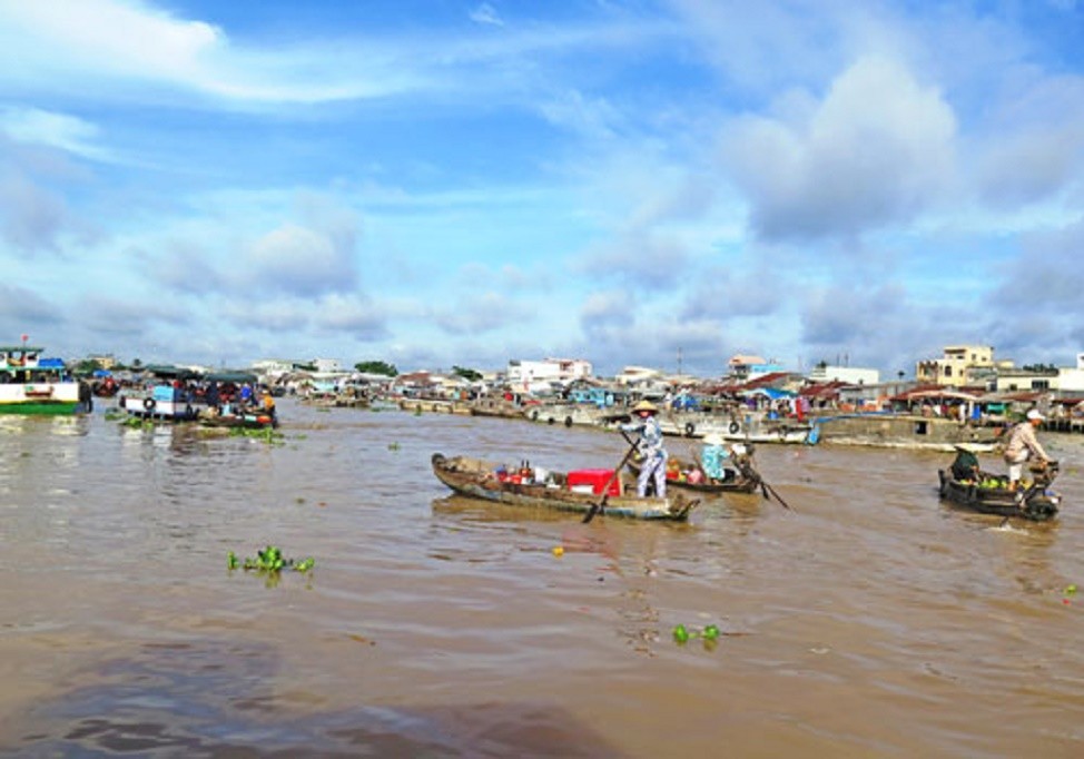
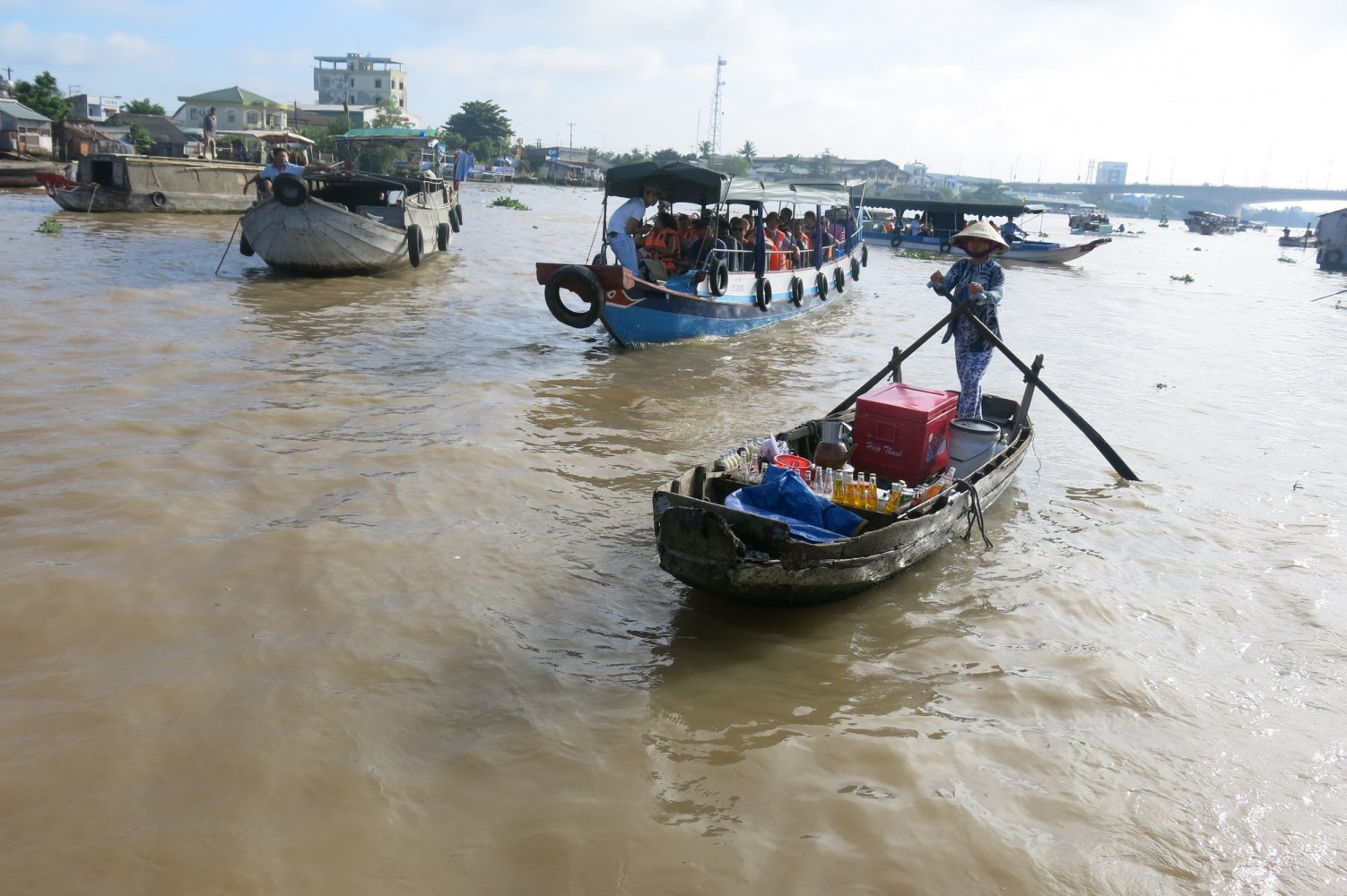
Since its founding, the inhabitants of Can Tho city have sold their wares atop the water, which has become a tourist spectacle. Rush hour at the floating market is around 8am. After noon, the sellers pack up their boats and return home. In recent years, local communities have begun to struggle against the growing problems of erosion and pollutants that threaten their way of life on the Hau River, a large branch off the MekongThe 185-kilometre (115-mile) Hau River passes through the southern part of Vietnam and into Cambodia, where it is called the Bassac River. In both countries, people call this river their home and depend on it for the livelihood by selling products from the Can Tho delta.
Can Tho river signs to reduce speeds, erosion
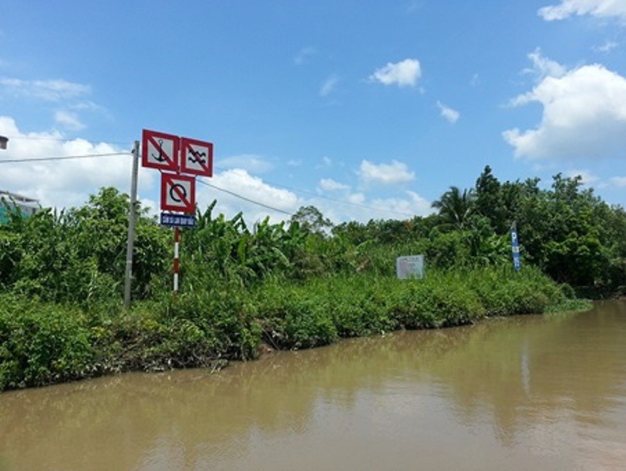
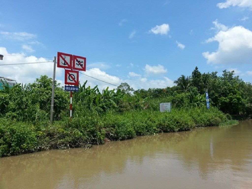
HCM CITY (VNS) — Can Tho authorities plan to install speed limit signs on the Hau River to prevent barges from travelling too fast, causing serious erosion and damaging property in the city’s An Binh Ward.
Q&A: River exploitation reaches alarming level
Over-exploitation of rivers has caused a great deal of damage. Dr. Dao Trong Tu, director of the Centre for Sustainable Water Resources and Climate Change, tells Ha Noi Moi (New Ha Noi) newspaper, in a Q&A.
Can Tho river signs to reduce speeds, erosion
Can Tho authorities plan to install speed limit signs on the Hau River to prevent barges from travelling too fast, causing serious erosion and damaging property in the city’s An Binh Ward.


