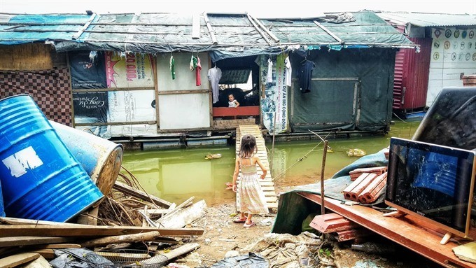
None want to be here but none can afford to be anywhere else.
Tag: red river
Vietnam proposes transboundary water-resources management policy
At the November 20 session of the 24th APEC Summit, a high-ranking leader suggested developing agriculture in a sustainable manner in tandem with the effective use of natural resources, including cross-border management of water resources.
From dams to basins: mapping across scales
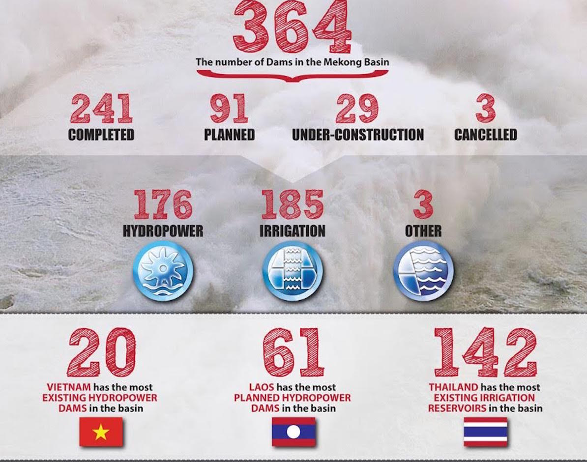
t the end of June 2016, WLE Greater Mekong published a series of maps identifying dams on the Irrawaddy, Salween, Mekong, and Red rivers and their tributaries. The maps cover existing dams, dams under construction, planned dams, and cancelled dams; both irrigation dams and hydroelectric dams are mapped, as long as they have a reservoir size of at least 0.5 km2 and/or have an installed capacity of at least 15 megawatts (for hydroelectric dams).
The following is the first half of an interview that took place on 8 July 2016, between Dr Kim Geheb—the WLE Greater Mekong Regional Coordinator — and the editor of Thrive. It is being published here in anticipation of the Great Mekong Forum on Water, Food, and Energy.
Plan continues for waterway transport system and hydropower on Red River
Vietnam’s Ministry of Investment and Planning (MPI) received the requirement for approval the investment project of Xuan Thanh group (Xuan Thien Co Ltd) about the construction the waterway transport system and hydropower on Red River, the North of Vietnam. MPI has informed the Prime Minister and consulted with MONRE about this project as MPI thinks that this project will have potential impacts to environment by dredging the riverbed or process of hydropower construction. But in order to understanding how specific the impacts, its need to conducting the EIA report.
The Prime Minister has not yet approved this project as its still lack many information and legal documents. Prime Minster assigned MONRE to establish the exploitation master plan of Red River to ensure the sustainable development.


